


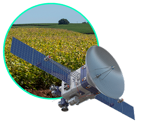

Monitoramento
Tenha uma visão completa e em tempo real das áreas cultivadas. Nossa plataforma integra imagens de satélite para acompanhar as operações agrícolas com precisão e tecnologia de ponta.

Soluções sob Demanda
Projetos personalizados de agricultura digital, meticulosamente elaborados por uma equipe dedicada de especialistas, priorizando a adaptação das soluções às necessidades e desafios únicos de cada cliente.

Treinamento
Capacitação prática em Sistemas de Informação Geográfica (SIG) e ferramentas geoespaciais. Programas ideais para equipes que buscam atualização e autonomia no uso das tecnologias.
Entregando resultados precisos
por meio das tecnologias mais recentes

Algoritmos modernos
Metodologias proprietárias que garantem análises consistentes e de alta acurácia.

Inteligência artificial
Modelos preditivos que identificam padrões, antecipam riscos e apoiam o planejamento agrícola.

Satélites
Monitoramento contínuo com imagens de alta resolução e radares, oferecendo uma visão completa e confiável das áreas cultivadas em qualquer condição.
Segmentos Atendidos

Fibras

Florestas

Grãos

Cana de açúcar

Pastagens

Outros Segmentos
Monitoramento de garantia


O ciclo de decisão técnica no campo em 5 etapas — e onde a maioria erra

Por que o tempo de resposta virou o principal fator de competitividade na gestão agrícola?
